
The Remarkables
The range on the far side of the lake, the ski area in the basin behind it, and what to do up there once the snow has gone.
The Remarkables are the range you look at from Queenstown — the serrated wall running down the eastern side of Lake Wakatipu. The high point is Single Cone at 2,319 m, with Double Cone, 2,307 m, a couple of hundred metres along the ridge. It is one of only ten mountains in New Zealand with more than 1,500 m of prominence, which is why it looks the way it does from town.
Kawarau is the Ngāi Tahu name for the range, recorded in the district plan as a wāhi taoka; the same name was given to the river. The Department of Conservation uses it for the surrounding land, the Kawarau/Remarkables Conservation Area — over 33,000 hectares. The English name came from the surveyor Alexander Garvie in 1857 or 1858. Before that, Europeans called them the Crosscuts.
The ski area
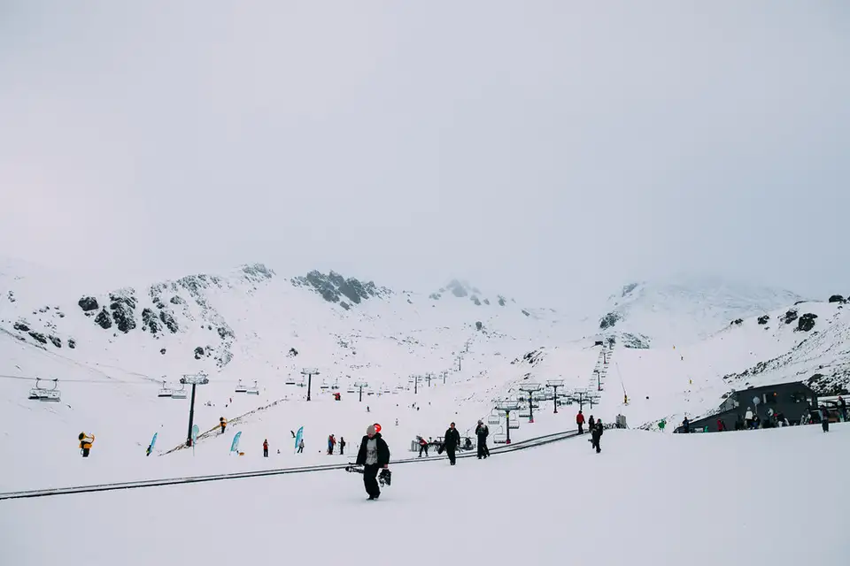
The ski area is not on the face you see from town but in the basin behind it, up a 13 km access road off SH6.
- Base to peak: 1,943 m at the top, 468 m of vertical.
- 26 runs, roughly 30 per cent beginner, 40 intermediate, 30 advanced, over about 449 hectares.
- Four chairlifts — three high-speed six-seaters plus the Alta quad — and surface conveyors with covered galleries for the learners' area.
- Three terrain parks, including a Burton Stash.
- Snowmaking across the beginner area and most of the main runs.
The season usually opens in the second half of June and runs to early or mid October, though the opening date moves with the snow — in 2026 it was pushed back twice. NZSki publishes the dates and prices, and they are the only source worth trusting on either.
The steeper terrain is the reason experienced skiers come here: Shadow Basin, the Gallipoli chutes off Curvey Basin, the Alta chutes, and the hike out to The Highway. The Shadow Basin chair was replaced in 2024, which cut the ride from over eight minutes to under four and opened up considerably more lift-accessed terrain.
The road
About 45 minutes from central Queenstown — 24 km, of which the access road is 13 km, roughly nine sealed and four unsealed. All vehicles are allowed and you do not need a four-wheel drive, but carry chains through the winter: they become mandatory in snow or ice, and snow socks are not accepted here. Restrictions can be put on two-wheel drives and high-sided vehicles in bad weather. Check your rental agreement covers alpine roads and chains.
There are five car parks along the road and parking is free, with a shuttle running up to the base building. If you would rather not drive it, there is a park and ride at the bottom of the access road, and the ski bus runs from Duke Street in town — book ahead, it sells out in the school holidays.
Summer
The ski area closes but the mountain does not.
The Lake Alta track starts behind the ski field buildings and climbs to a small lake in a glacial cirque — about 1 hour 30 minutes, graded advanced, marked with cairns across alpine wetland. There is avalanche risk in the Alta basin, and from May to November the route is unmarked and snow-covered; talk to NZSki before going up in that window.
Wye Creek, about twenty minutes south of Queenstown on SH6, has rock climbing on both sides of the creek with routes up to 50 m, and is one of the better-known winter ice climbing venues in the country. The lower track is 4 hours return, graded advanced, and crosses private land.
Lake Alta is also the main alpine rock and mixed climbing area up here. The first recorded ascent of Double Cone was by the geologist T. N. Hackett in 1864.
Nearby
Frankton is where you turn off, and Coronet Peak is the other NZSki field, on the opposite side of the basin.
More in Mountains
See all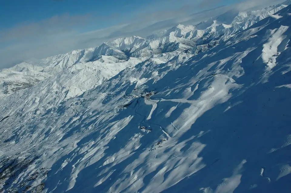
Coronet Peak
New Zealand's first commercial ski field, twenty minutes from town on a sealed road. Night skiing in winter, gondola sightseeing, disc golf and downhill trails in summer.
Ben Lomond
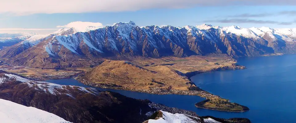
The 1,748 m summit above Queenstown, and the day walk to it: six to eight hours return from town, with the times, the gradients and the honest warnings.
Queenstown Hill
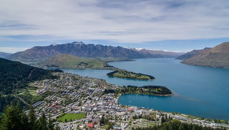
Te Tapunui: 5.4 km return from Belfast Terrace, two to three hours, the Basket of Dreams sculpture and the best 360-degree view you can reach on foot from town.