
Lake Hayes
The eight-kilometre loop between Queenstown and Arrowtown, the willows that make it the most photographed lake in the district in autumn, and the honest story about its water.
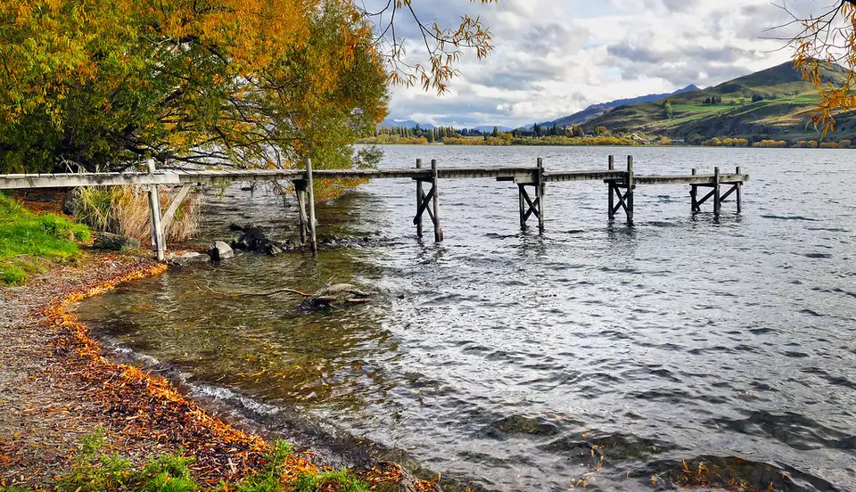
Lake Hayes lies between Queenstown and Arrowtown, twenty minutes from town on SH6. It is shallow for its size — 2.76 square kilometres, 33 m at the deepest — and in April the willows around it turn and the whole thing gets photographed from every angle. It is also known as Waiwhakaata, the name Queenstown Trails uses for the track around it, and it appears elsewhere as Te Whakaata a Hakitekura, for an ancestress whose reflection the lake was said to hold.
The English name is a slow-motion mistake. It was Hays Lake, after D. Hay, an Australian who came through in 1859 looking for sheep country. The spelling drifted when the discovery was wrongly credited to Captain "Bully" Hayes.
The loop
The Lake Hayes Walkway is an 8 km loop, 2 to 3 hours walking or about an hour on a bike, graded easy to intermediate on foot and grade 3 for riding. It is smooth gravel most of the way. The southern end crosses a boardwalk — slow down or get off the bike there, it is built over wildlife habitat — and that same southern section floods, so if there is water across the track, turn around rather than wading.
Park at the North Lake Hayes picnic area, which has the most parking and toilets, or at the pavilion and showgrounds on SH6, Bendemeer Bay, Arrowtown Road, or Rutherford Road off Speargrass Flat Road. The loop connects onward to the Countryside Trail and, via the Lake Hayes Estate link, to Twin Rivers. Trails here shut after heavy rain and Queenstown Trails posts the current status, which is worth a look in spring.
The water
This is the part usually left out. Lake Hayes is eutrophic and has been for decades: seventy years of sediment and fertiliser running off the catchment, wetlands drained, creeks straightened. Phosphorus in the lakebed is the core problem — the lake stratifies, the bottom water runs out of oxygen, and the sediment releases nutrients back into it. The result is toxic algal blooms through the warm months.
There is real work going on. The regional council has piped Arrow River water through Mill Creek to displace nutrient-rich bottom water, widened and planted Hayes Creek, and put sediment traps through the catchment; Mana Tāhuna Trust has pulled crack willow out of the northern wetland and has well over a hundred thousand natives going in. Sediment loads have come down sharply.
On swimming: the monitored site at Mill Creek Shallows has been suitable on most occasions over the last five years and on every occasion over the last two, and duck waste is the usual cause when bacteria counts rise. Cyanobacteria is the risk that matters, it is seasonal, and results are published weekly. Check before you get in, and stay out for 48 hours after heavy rain.
Brown trout and perch, no boat fishing, 1 November to 31 May. The lake holds a healthy population of Australasian crested grebe, which is reason enough to keep dogs on a lead near the wetland.
Around the lake
Amisfield's restaurant and cellar door is at 10 Lake Hayes Road and books out — plan ahead rather than turning up. The Lake Hayes A&P Show has run for over a century and fills the showgrounds on a Saturday in January: livestock, shearing, horse jumping, tug of war.
Nearby
Arrowtown is five minutes on, Coronet Peak is the mountain at the end of the view, and Gibbston is over the hill.
More in Lakes
See all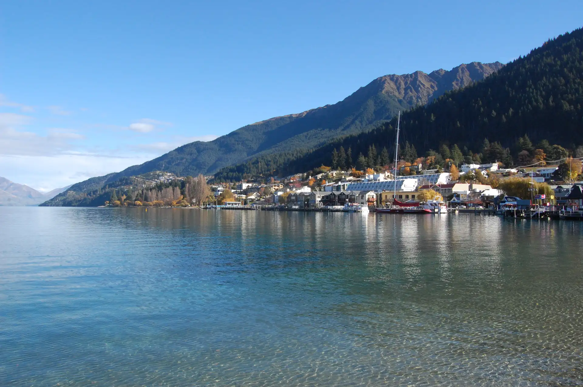
Lake Wakatipu
Plan a day around Lake Wakatipu with local tips on lakeside walks, viewpoints, swimming, cruises, access, parking and changing weather.
Lake Johnson
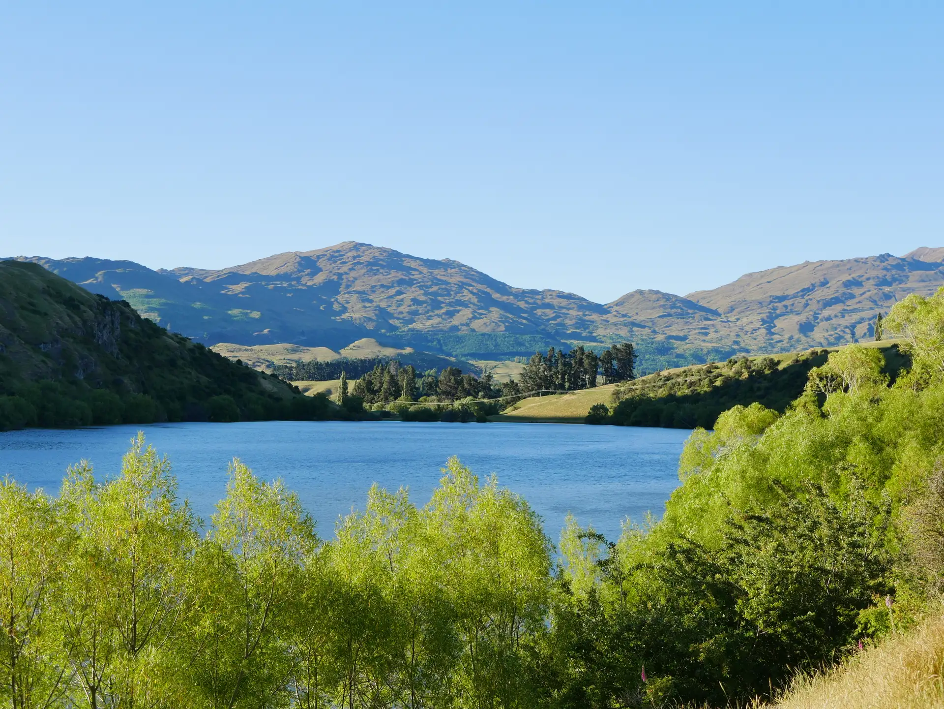
A small glacial lake near Frankton, known for stocked rainbow trout and for summer algal blooms. What is actually known about it, and what is not.
Moke Lake
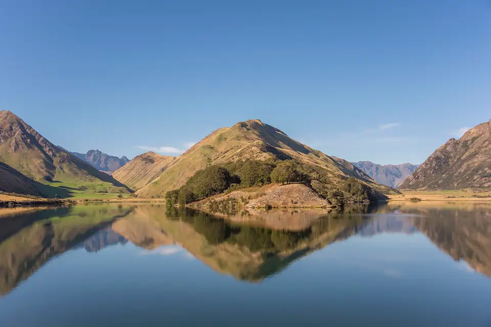
Twenty minutes from Queenstown on gravel: a still tussock-rimmed lake with a six-kilometre loop track and a DOC campsite you now have to book before you leave town.