
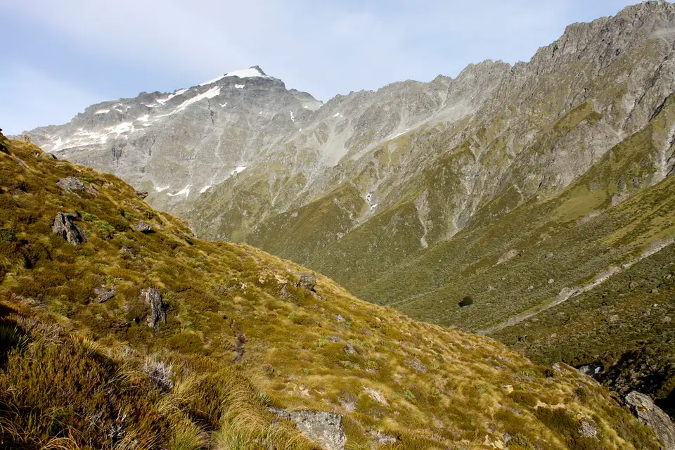
Rees River
The braided valley running down to Glenorchy from the Richardson and Forbes mountains. The quieter of the two big valleys above the lake, and the start of the Rees Track.
The Rees comes down 41 km from headwaters above 2,000 m, between the Richardson Mountains on one side and the Forbes on the other, and empties into the head of Lake Wakatipu at Glenorchy. Its traditional name is recorded as Puahiri, also written Puahere. Like the Dart beside it, the valley was one of the old trails to pounamu, and there are oven sites and nohoaka along it.
The English name is for William Gilbert Rees, who ran the first sheep station in the basin. There is more about him on the William Gilbert Rees page.
The valley
The upper Rees was carved by the Tyndall Glacier, and the catchment is fine-grained, highly erodible schist — which is why the river spreads across a wide gravel braid-plain instead of holding one channel, and why it moves after every decent flood. Steep alluvial fans come in from the side basins below Rees Saddle.
Unlike the Dart, there is no commercial operator on the Rees. It is a valley you walk into, or drive to the edge of and look at.
Walking in
The Rees Track starts at the Muddy Creek car park, 68 km from Queenstown via Glenorchy. Four to five hours gets you the 12 km to the national park boundary, and another two to three the 7 km to Shelter Rock Hut. Four-wheel drives can get beyond Muddy Creek but the road washes out without warning, so it is not somewhere to leave a vehicle for four days.
The Rees is the open half of the Rees-Dart circuit at the moment — the Dart side is closed by a slip until at least December 2026, so the loop cannot be completed. The river floods readily after rain and through the spring melt, avalanche terrain above is rated challenging to complex from May to November, and the upper Snowy Creek bridge is removed each winter. This is an advanced route, and the Department of Conservation grades it that way.
On screen
The helicopter chase in Mission: Impossible – Fallout was filmed at Muddy Creek, up this valley, and the lower Rees appears in Top of the Lake.
Nearby
Glenorchy for food and fuel, the Dart for the jet boats, and Diamond Lake up the Paradise road.
More in Rivers
See all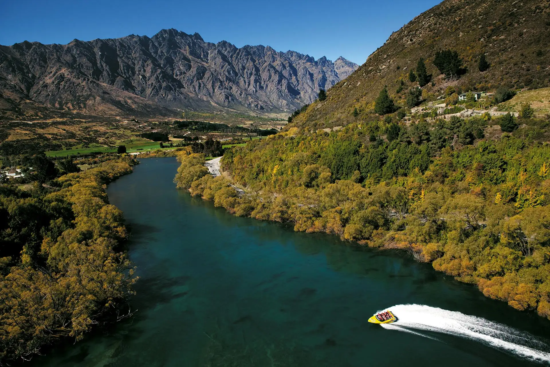
Kawarau River
The river that drains Lake Wakatipu and runs east through the Kawarau Gorge to Cromwell. Where commercial bungy started, and where the rafting runs.
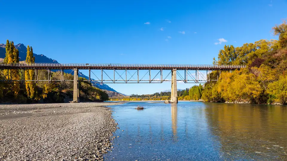
Shotover River
The river the 1862 gold rush was built on, and the one most Queenstown adventure operators still run on. Where to see it, who works it, and what the water does after rain.
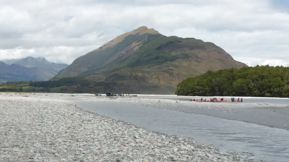
Dart River
Te Awa Whakatipu, the braided glacier-fed river above Glenorchy. An old pounamu route, an Isengard filming location, and the one river up here with a jet boat concession.